To sum up the first quarter of 2024, the only suitable phrase would be ‘flat out’.
A lot of our work has been centred around post cyclone recovery and the associated rebuild, working closely with valued clients like Hastings District Council, Hawkes Bay Regional Council, Tonkin and Taylor, and Beca.
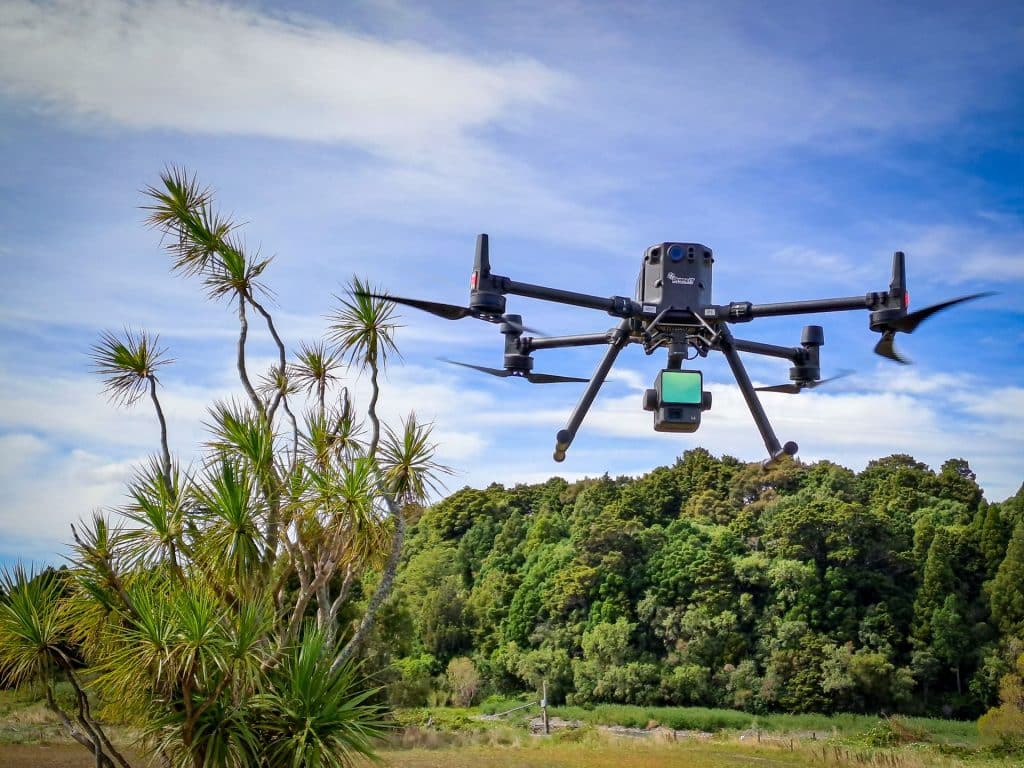
2024 has also seen the arrival of our new DJI L2 LiDAR sensor. The LiDAR sensor is carried by our DJI Matrice M300 RTK drone and allows us to measure and model terrain beneath vegetation, eliminating the need for ground survey in these areas. Needless to say, the L2 LiDAR has seen a lot of work already.
We have had some high visibility work in Havelock North, flying the five main streams that run through the village. We have captured each stream corridor with both LiDAR and photogrammetry to produce highly detailed terrain models and high resolution aerial maps. This data will be used by engineers for flood mitigation works to protect the village in future high intensity storms.
14 bridges were also modelled using photogrammetric data captured by RTK UAVs. Using drones to capture this data enabled us to deliver cost savings of 30% (compared to a laser scan) and provided a far more complete model of each bridge.Work continues in the wider Hawkes Bay area with LiDAR surveys of the Okawa and Tutaekuri-Waimate Stream, and even as far north as Wairoa where we undertook a UAV and GPS topographic survey of the Wairoa Domain, again for flood mitigation design works.

Multispectral surveys were completed by our team all over the North Island, rounding out another successful season with Aerobotics. Over 1500Ha of apple orchards, kiwifruit orchard and vineyards were flown, with locations ranging from Martinborough to Tauranga, and as far out as Gisborne. Orchard health analytics derived from the UAV data helps growers detect issues like irrigation damage and areas of nutrient deficiency to improve overall yields.

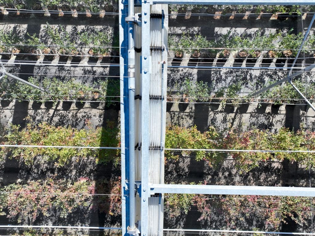
We also carried out a range of inspection activities during Q1. The most intricate of these was capturing 3mm thick guide wires on a retractable roof, with the aim of inspecting the images to detect fraying cables. The roof is inaccessible by foot, so a UAV was the only solution. Each photo had GPS coordinates attached to it, allowing the client to target specific area for more detailed inspection.
Finally, our drone support for subdivision work continues in the background, enabling us to track volumes and levels across sites, provide guidance for earthworks contractors and generate as-built plans for final sign off from council.
Check back with us later in the year for more updates, or to get in touch about your job, use the contact form and we would be happy to help.