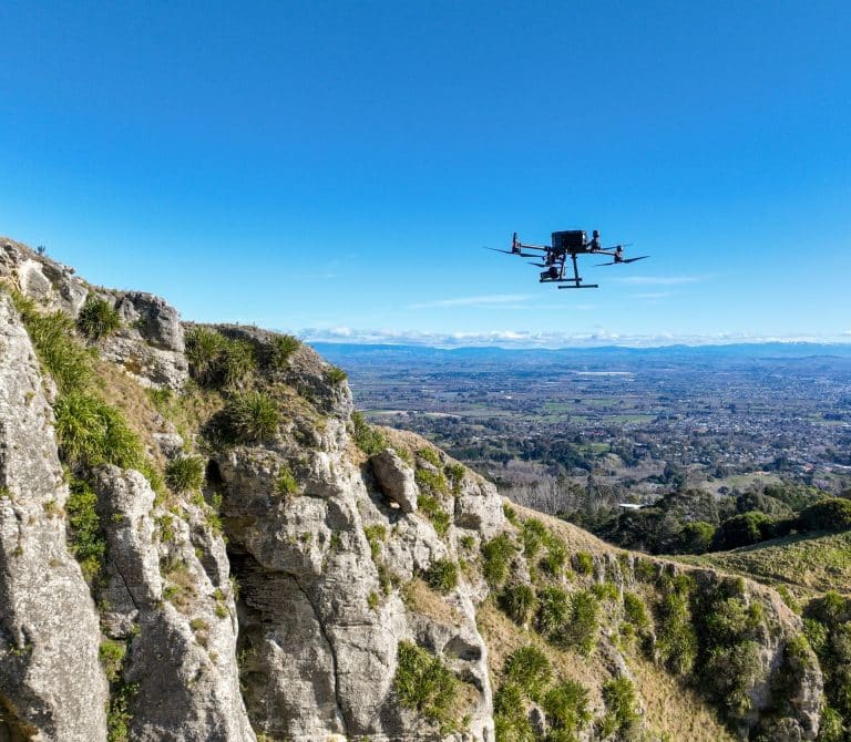
DroneIT provides a comprehensive range of UAV services in Hawke’s Bay and across the North Island.
We have the drones, experience and expertise to handle any job, ensuring it’s safe, legal and compliant. Drones can access places humans can’t get to without time, effort and risk, meaning we can do highly accurate work faster and cheaper than traditional methods.
Our UAV services include:
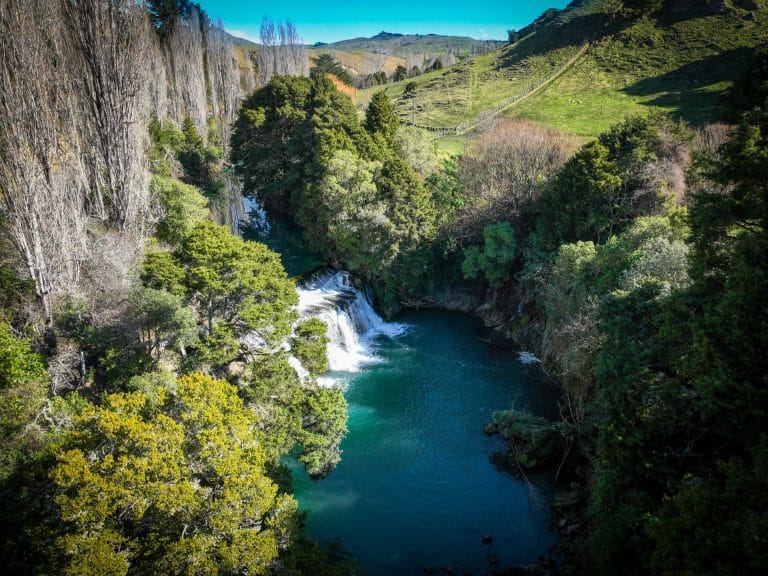
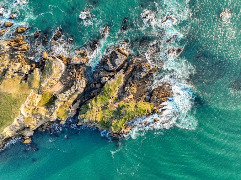
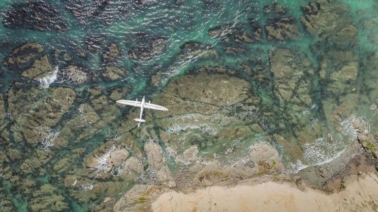
Aerial Photography
With a range of drones at our disposal we have the right tools for any UAV aerial photography job.
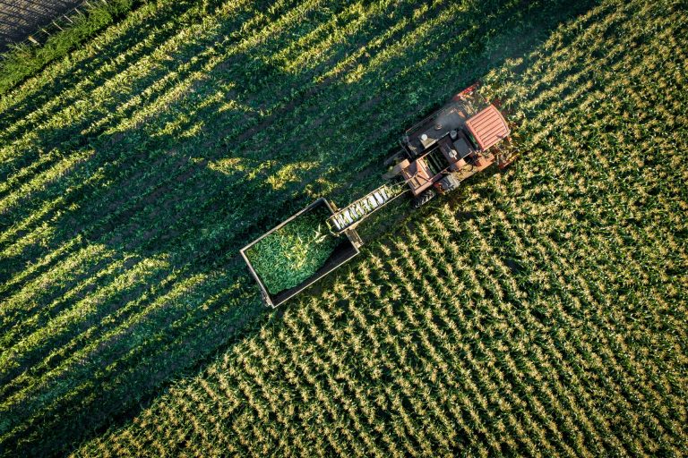
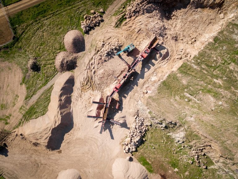
With current economic and climatic conditions affecting primary sector production, it is more important than ever to maximise efficiencies on farms and orchards.
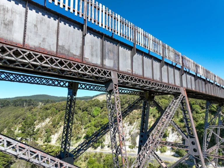
Using drones for 3D modelling of infrastructure assets, telecommunications towers and buildings offers a big advantage over terrestrial methods in time and cost.
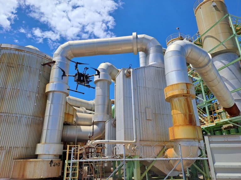
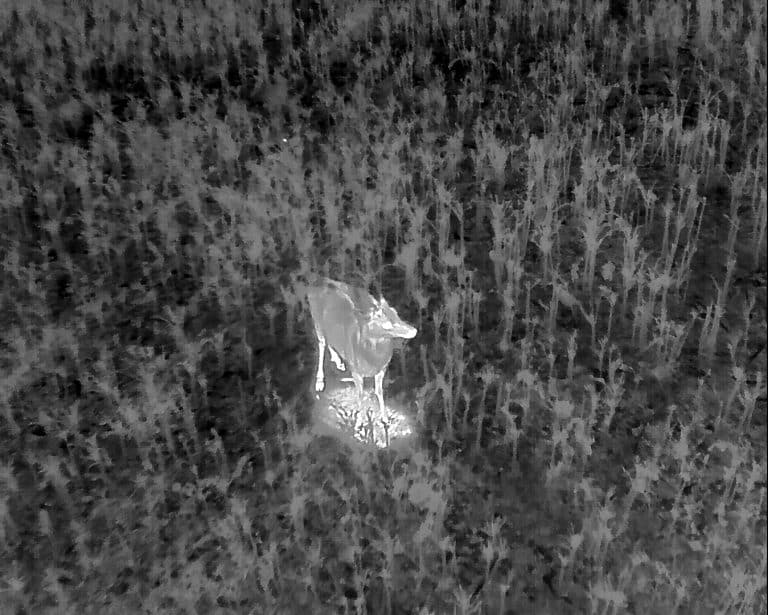
UAV inspections of assets are vastly better than traditional methods, allowing the operator to capture detailed views and information of hard to reach, hidden or inaccessible areas.
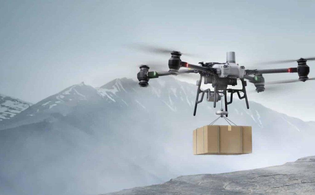
Our cutting-edge heavy lift drone is engineered to tackle the most demanding tasks. Capable of carrying substantial payloads, this drone is perfect for a wide range of applications.
Do you need a drone for a job but don’t want to commit to purchasing one? Do you need extra equipment for an upcoming job, or do you want to test a drone before buying?
We use cookies to ensure that we give you the best experience on our website. If you continue to use this site we will assume that you are happy with it.